1836

Select the map to view the full-size image.


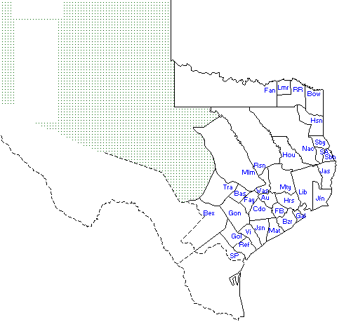
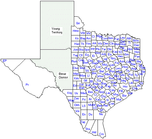
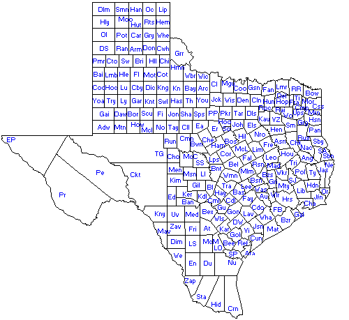
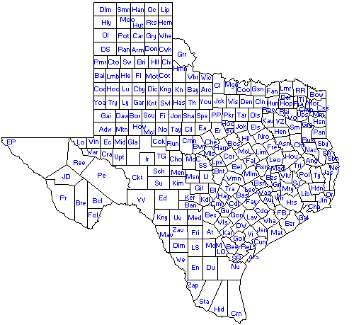
These maps provide snapshots of Texas county boundaries from the Republic era through 1930, making it easier to see how counties were created and reorganized over time.
Select the map to view the full-size image.
Select the map to view the full-size image.

Select the map to view the full-size image.

Select the map to view the full-size image.
Select the map to view the full-size image.
Select the map to view the full-size image.
Select the map to view the full-size image.
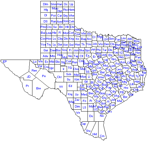
Select the map to view the full-size image.
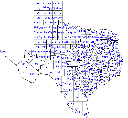
Select the map to view the full-size image.

Select the map to view the full-size image.
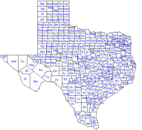
Select the map to view the full-size image.